41 Wyoming Landmarks Renamed To Permanently Remove “Sq___” from Federal Maps
Written by Andrew-Rossi on September 12, 2022
The U.S. Department of the Interior has rechristened almost 650 summits, streams, and other landmarks to remove a derogatory term for indigenous women from all federal maps.
Last week, the Department of the Interior today announced the Board on Geographic Names (BGN) has voted on the final replacement names for nearly 650 geographic features nationwide featuring the word sq___. The final vote completes the last step in the historic efforts to remove a term from federal use that has historically been used as an offensive ethnic, racial and sexist slur, particularly for Indigenous women.
“I feel a deep obligation to use my platform to ensure that our public lands and waters are accessible and welcoming. That starts with removing racist and derogatory names that have graced federal locations for far too long,” said Secretary Deb Haaland. “I am grateful to the members of the Derogatory Geographic Names Task Force and the Board on Geographic Names for their efforts to prioritize this important work. Together, we are showing why representation matters and charting a path for an inclusive America.”
Anyone can find the list of new names on the U.S. Geological Survey website with a map of locations.
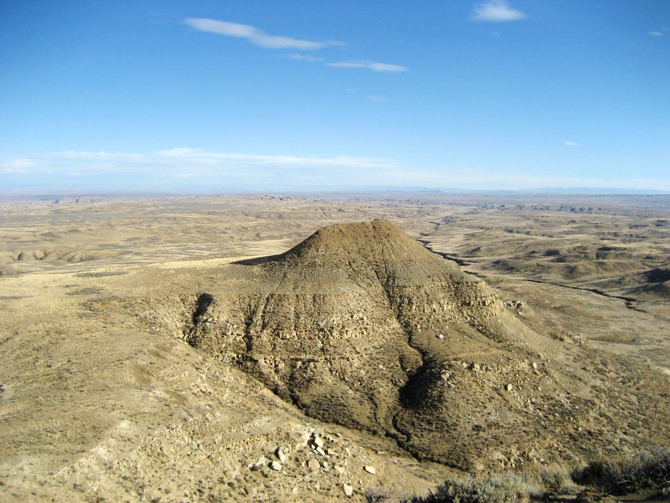
Courtesy summitpost.org & musicman82
Forty-one geographic features in 17 Wyoming counties have new monikers.
A complete list of the old and new names is published below.
Albany County
- Sq___ Creek is now Lake Mountain Creek
Campbell County
- South Sq___ Creek is now South Sage Creek.
- Sq___ Butte is now Duck Butte.
- Sq___ Creek County is now Sage Creek.
Carbon County
- Sq___ Creek (in Carbon and Natrona Counties) is now Dugway Creek
- Sq___ Canyon is now Continental Divide Canyon
Converse County
- Sq___ Mountain in Converse County is now Roaring Mountain
- Sq___ Peaks in Converse County is now Horseshoe Peaks
Crook County
- Sq___ Buttes is now Bear Buttes.
Fremont County
- Sq___ Butte is now Muskrat Butte.
- Sq___ Lake is now Marys Lake.
- Sq___ Creek is now Popo Agie Creek
- Sq___ Creek (shared by Fremont and Teton County) is now Fireweed Creek
- South Fork Sq___ Creek is now South Fork Popo Agie Creek
Goshen County
- Sq___ Rock is now Bear Rock
Hot Springs County
- Sq___ Teat Butte is now Sugar Butte.
Lincoln County
- Sq___ Creek is now Paamus Naokwaide
- Sq___ Flat is now Paantsugu Seepaithe
- Sq___ Fork Canyon is now Huu’na Waippe Naokwaide
Natrona County
- Sq___ Creek is now Platte Creek.
- Sq___ Spring is now Deer Spring
Park County
- Sq___ Peak is now Kuchunteka’a Toyavi
- Sq___ Teats is now Crow Woman Buttes
- Sq___ Creek is now Kuchunteka’a Naokwaide
- Sq___ Creek (a higher elevation feature) is now North Fork Hoodoo Creek
Platte County
- Sq___ Rock is now Slate Rock
- Sq___ Hill is now Maxwell Hill.
- Sq___ Mountain is now Slate Mountain.
Sheridan County
- Sq___ Creek is now L Quarter Circle Creek.
Sublette County
- Sq___ Teat is now Little Sandy Peak
- Middle Fork Sq___ Creek is now Middle Fork Sagebrush Creek
- East Fork Sq___ Creek is now East Fork Sagebrush Creek
- Sq___ Creek is now Sagebrush Creek
- West Fork Sq___ Creek is now West Fork Sagebrush creek
Sweetwater County
- Sq___ Hollow is now Nahguch Hollow
Teton County
- Sq___ Creek is now Pannaite Naokwaide.
- Sq___ Basin is now Two Ocean Basin
- Sq___ Canyon is now Tuka Naa’iya Po’I Hunu’u
- Sq___ Creek is now Paateheya’ateka’a Naokwaide
Washakie County
- Sq___ Creek is now High Park Creek
Continue reading