Absaroka Mountain Range Receives First Snowfall of September With Hazardous Weather Watch in Effect
Written by Jessi Entel on September 22, 2023
The National Weather Service in Riverton, Wyoming has issued a hazardous weather outlook for Friday, September 22 that will remain in effect tonight for lower elevations, with snowfall expected in parts of the Cowboy State.
During the night of Thursday, September 21, the Absaroka Mountain Range received snow, covering mountains visible from Cody.
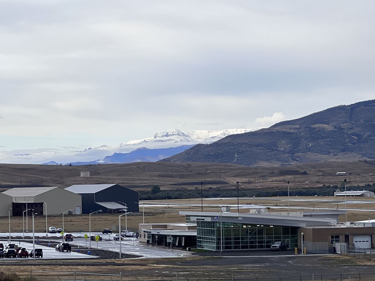
Absaroka Mountains receive snowfall visible from Yellowstone Regional Airport on September 22, 2023. (Photo: Jake Hogan)
Today and tonight, there will be widespread precipitation across the Bighorn Basin into central Wyoming, with locally heavy rain. Central and southern parts of the Cowboy State should be on the lookout for fire weather conditions due to southwesterly wind gusts of 40 to 50 miles per hour.
Elevations as low as 7,000 feet can expect snowfall throughout the night, with elevations of 9,000 feet or more receiving an inch or more. The temperatures will drop into the middle to upper 20s in the Bighorn Basin which has also prompted a Freeze Watch that will remain in effect for Western Wyoming.
This weekend into the early part of next week, more precipitation is expected with elevated fire weather conditions in central to southern parts of the state thanks to Wyoming’s infamous wind gusts.
As always, the National Weather Service would like to remind weather watchers to report significant weather conditions according to standard operating procedures.