Bighorn Basin Due for Erratic Week of Wet Weather
Written by Andrew-Rossi on August 17, 2021
Showers and thunderstorms will (hopefully) bring much-needed relief to the Bighorn Basin while temperatures will drop over 30 degrees overnight.
Cody, Worland, and the entire Bighorn Basin will experience a week of wild weather. As a result, residents should prepare for anything and everything over the next few days.
According to the National Weather Service Office in Riverton, the forecast for Tuesday, August 17, is smokey. Wildfire smoke from fires across the nation has firmly settled over northwest Wyoming. Therefore, Air Quality Alerts remain in effect for all Bighorn Basin communities.
Otherwise, Tuesday’s temperatures will be high and dry. Cody will reach a high of 89 F, while Powell, Worland, and Thermopolis will all reach the mid-nineties in the afternoon.
Worland is under a Red Flag Warning from noon until 9 p.m. Tuesday. The warning is due to hot temperatures, strong winds, and low humidity, creating critical fire conditions.
Then things get interesting . . .

Courtesy National Weather Service Office Riverton
Between Tuesday night and Wednesday morning, temperatures across the Bighorn Basin will drop over 30 degrees – and stay there.
Cody’s low temperature will be 56 F on Tuesday night and 50 F on Wednesday night. Temperatures could dip into the 40s on Thursday and Friday nights.
During the day, Cody’s high temperatures will stay in the low 60s for most of the week. Powell will undergo similar snaps.
In Worland, highs and lows are less erratic. Wednesday’s daily high temperature will be 72 F on Wednesday, 67 F on Thursday, and 70 F on Friday. Nightly temperatures will drop to the low 50s and high 40s.
Temperatures across the basin will rise back into the 70s by the weekend.
This temperature roller coaster will be accompanied by thunderstorms with lightning and rain showers – at least in theory.
Wednesday and Thursday forecasts – day and night – have an 80% of showers and strong, gusty winds throughout the Bighorn Basin. On Wednesday, Cody’s forecast calls for “between a tenth and quarter of an inch new rainfall.” No other Bighorn Basin community has a rainfall prediction.
Thunderstorms are more than possible throughout the week’s rainfall. A slight chance of thunderstorms continues through the weekend and into next week.
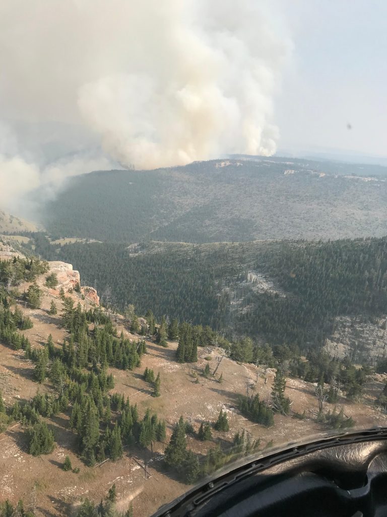
Hopefully, these storms will bring much-needed relief to the region. A heavy rainstorm would be welcome in Bighorn National Forest, where the 3,000+ acre Crater Ridge Fire continues to burn.
However, the chance of rain doesn’t remove the chance of wildfires. All of the wildfires reported in Wyoming in Summer 2021 were lightning-strike fires, not necessarily accompanied by rain. Therefore, the Bighorn Basin will likely remain under a Hazardous Weather Outlook for the duration of this week’s weather.
Continue reading