Hazardous Weather Conditions Warning from National Weather Service, Riverton, WY
Written by Caleb Nelson on May 30, 2022
Forecasts from the National Weather Service indicate “severe thunderstorms in the Northern Plains on Memorial Day.” The NWS has issued a Hazardous Weather Outlook and a Winter Weather Advisory until May 30th, 3:00pm MDT.
For the remainder of today: “Breezy. Rain showers, snow showers and thunderstorms. New snow accumulation up to 1 inch. Highs 35 to 41. North winds 15 to 20 mph. Chance of precipitation 80 percent.”
Tonight’s forecast: “Cloudy. Numerous rain showers, snow showers and thunderstorms early in the evening, then scattered rain showers late in the evening. Scattered snow showers in the late evening and overnight. Snow accumulation up to 1 inch. Total snow accumulation 1 to 6 inches. Lows 26 to 32. North winds around 15 mph in the evening. Chance of precipitation 60 percent.”
Courtesy of the National Weather Service
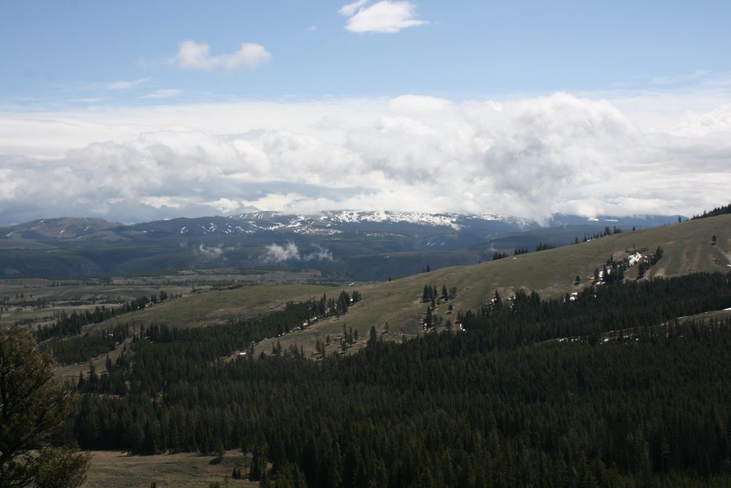
A Winter Weather Advisories for Yellowstone National Park and the Teton and Gros Ventre Ranges has gone into effect for Monday Afternoon. This Hazardous Weather Outlook has gone out for Western and Central Wyoming. According to the NWS, “Heavy mountains snow continues, shifting from the northern mountains to the central mountains tonight. Occasional heavy rain in the lower elevations through tonight. Tuesday…Lingering showers and mountain snow, mainly in central and southern Wyoming. Wednesday through Friday…Isolated to widely scattered afternoon and evening thunderstorms.”