Get Up-To-Date Status of Recreation Hot Spots in National Forests
Written by Andrew-Rossi on April 22, 2020
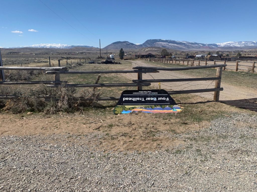
Shoshone National Forest is encouraging everyone to use a new tool to plan their next excursions into the Rocky Mountain Region
The US. Forest Service has released a new online tool to provide updates on the status and openings of recreation hotspots in real time. It’s a fairly straightforward tool – an interactive map of the entire Rocky Mountain Region of the Forest Service, which encompasses 24 national forests and grasslands across Colorado, Kansas, Nebraska, South Dakota and Wyoming. Hovering your pointer over any area will give you links to the site itself and up-to-date area status updates.
The status is mostly the same across the region: Acting Regional Forester Jennifer Everlien signed an order closing all developed recreation sites while dispersed camping, hiking and river uses are allowed, although discouraged, until further notice. Closed developed recreation sites include campgrounds, day-use areas, picnic areas, and any other constructed facility amenities – such as potable water stations, fire rings/grills, picnic tables, restroom facilities with flush or vaulted toilets, and trashcans and trash collection services. Parking facilities, trails and trailheads remain open. Dispersed camping includes camping on a national forest or grassland where recreation facilities or services are not provided.
There’s no word on when these restrictions will be lifted, but the new tool released will aloe everyone to learn of those reopening’s as they occur.